GPS is very unreliable in the Cretan mountains
But never mind that we live under a big NATO bubble and hence the problems people face when using GPS on Crete. Nestled in the rugged Kissamos region of western Crete, the villages of Vlatos and Innachorio (also known as Inachori, now part of Kissamos municipality) offer a wealth of peaceful hiking (click here for more info about hiking around Vlatos) amid olive groves, chestnut forests, and dramatic mountain slopes at around 500–600 m elevation. These areas feature easy-to-moderate trails perfect for nature lovers seeking serene escapes rather than intense gorge descents.OpenStreetMap excels here as a free, community-updated resource with detailed trail mapping. View and explore paths directly on OpenStreetMap.org (search for “Vlatos, Kissamos, Crete” or zoom to coords ~35.39°N, 23.65°E). Key highlights include:
- Park of Peace Trails (Vlatos outskirts): Interconnected easy loops (4–6 km total, 1–2 hours, <150 m elevation gain) through meadows, pines, and olive terraces—ideal for picnics and birdwatching. Well-marked and visible on OSM.
- Vlatos to Milia Eco-Village: Moderate 5–7 km out-and-back (2–3 hours, ~200 m gain) along old mule paths to the sustainable chestnut-forest hamlet of Milia.
- Vlatos to Elos Chestnut Trail: Easy-moderate 6 km linear path south into Innachorio, connecting to chestnut groves and village charm.
- E4 European Long-Distance Path sections: The renowned E4 weaves through Innachorio’s landscape (traceable on OSM via waymarkedtrails.org or directly on OSM layers). Enjoy scenic village-to-village links and extensions toward Elafonisi’s iconic pink-sand beach (e.g., 12–15 km moderate coastal-mountain stretch from Livadia area westward).
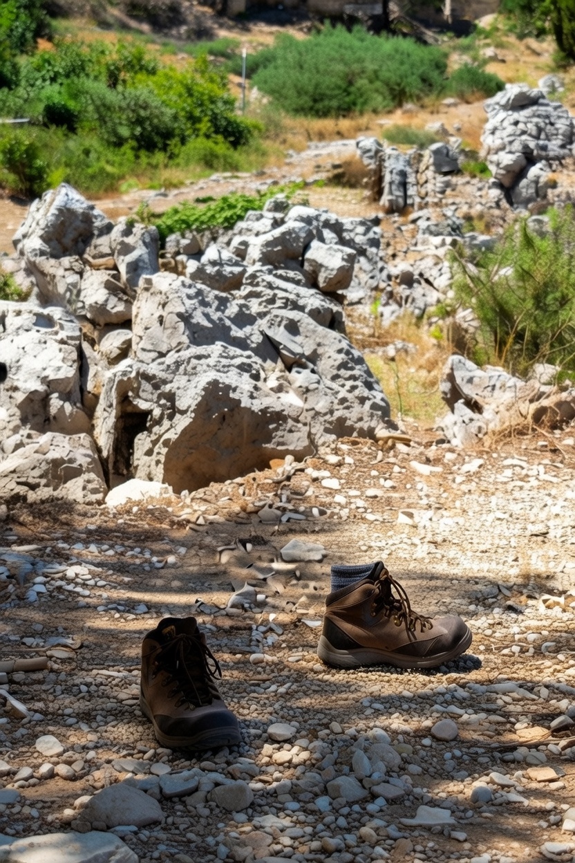
October shines for visits, with mild 20–25°C temps and golden autumn foliage. Trails are generally well-marked but rocky in spots—wear sturdy shoes, carry water, and download OSM-based apps like OsmAnd (excellent offline maps & navigation) or Organic Maps for reliable routing without cell signal. For broader planning, cross-reference with AllTrails or Wikiloc, but OSM provides the most current, community-sourced detail for this authentic, off-the-beaten-path corner of Crete. Happy trails!
View Larger Map